Assiniboine Lodge Via Bryant Creek And Assiniboine Pass
Distance: 27.5 km (17.1 miles)
Elevation gain: 460 meter gain (1,509 feet) after an initial loss of 65 m (213 feet)
Allow: 8 hours
Gem Trek hiking map: 26620 Banff and Mount Assiniboine
Topographical maps: Mount Assiniboine 82 J/13 and Banff 82 O/4.
Trailhead: The Mount Shark Trail Head.
Banff National Park information: permits are required for overnights on the Bryant Creek access route.
Trail description
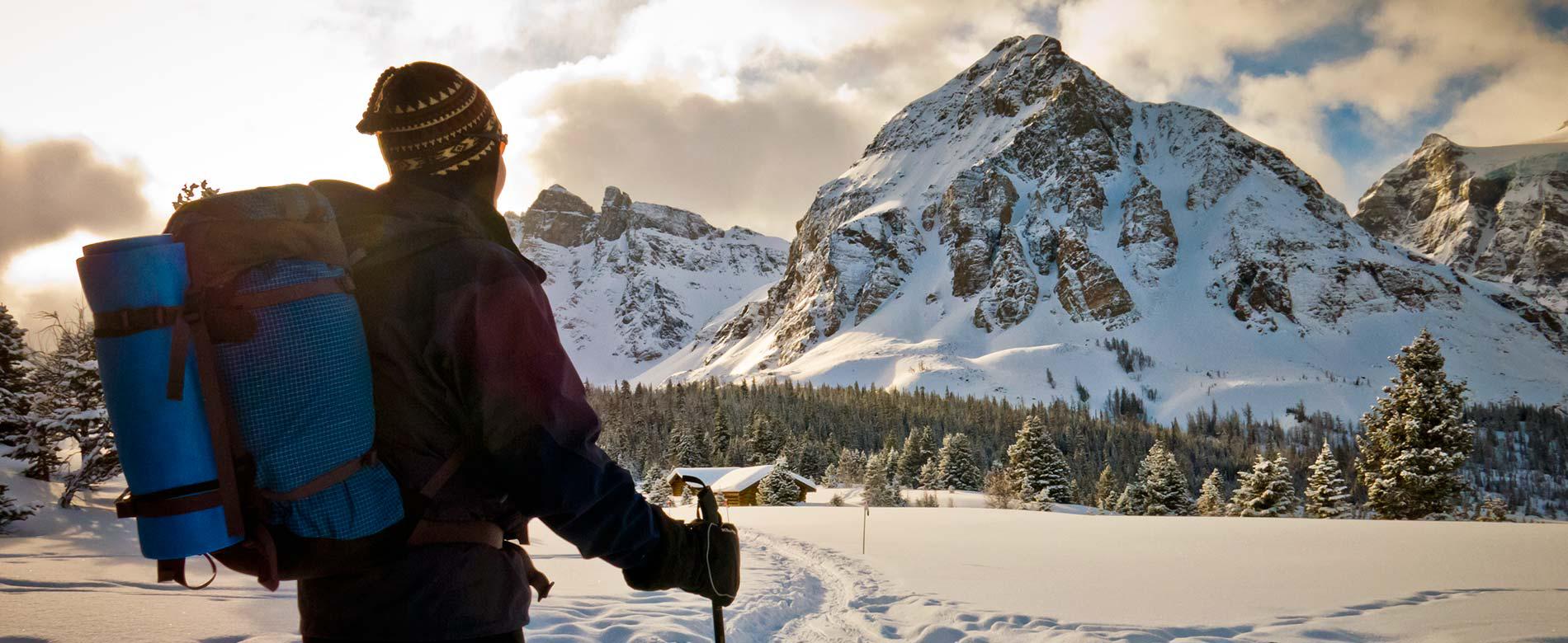
The only winter route to Assiniboine is through Bryant Creek and over Assiniboine Pass. The helicopter flight path to Assiniboine follows this skiing route and expect to hear helicopter noise on flight days. Most of the ski follows a creek bottom, so the scenery doesn’t start opening up until the Bryant Creek Warden's Cabin.
The trailhead is the stadium for the Mount Shark cross-country ski trail system. Travel along an old logging road and through the maze of ski trails. The trail passes the Watridge Lake/Karst Trail turnoff (3.7 km), descends a steep hill and cross a bridge over the Upper Spray River (5.9 km). Continue right (west) at the Palliser Pass Junction (6 km). Cross the Bryant Creek Bridge (6.6 km). Climb a small hill and at the crest turn left following the trail to Trail Center (6.7 km). At Trail Center, the trail forks to the left to a Banff National Park Warden's Cabin. Take the right fork following signs for Assiniboine.
The trail climbs gently past the first of the Banff National Park campground at Big Springs BR9 Campground (9.6 km). Continue past the Owl Lake Junction (12 km), the junction for the Marvel Lake BR13 Campground (13 km) and the primitive Bryant Creek Shelter (13.6 km) and McBride’s Camp BR14 (14km). The trail to Wonder Pass branches off to the left at the Bryant Creek Warden’s cabin (14.3 km). Keep following the Bryant Creek trail past the Bryant Creek Warden's Cabin.
At the end of the Bryant Creek Meadows, the skiing trail enters the forest by the Allenby Junction Campground. The skiing route continues straight following the lower horse trail while the hiking high trail forks to the right. The ski route follows the horse trail up a series of switchbacks. The ski trail is joined by the hiking high trail (22.4 km) below the summit of Assiniboine Pass.
Before the summit of Assiniboine Pass be attentive and follow the trail, as it turns left, up the final hill to Assiniboine Pass (23 km). At Assiniboine Pass there is a B.C. Parks information booth marking your entrance into Mount Assiniboine Provincial Park, the Great Divide and the Alberta/British Columbia border.
From Assiniboine Pass it is approximately a 2.1 km ski to Assiniboine Lodge. Continue down Assiniboine Pass and past the O’Brien Meadow Group Campground. Continue past the Og Lake junction. At the next Y junction, follow the signage and take the trail branching to the left for Assiniboine Lodge and the Naiset Huts. Assiniboine Lodge is 100 meters from the junction. For the Naiset Huts continue past Assiniboine Lodge and turn left after the second lodge cabin. The Naiset Huts are 500 meters past the Assiniboine Lodge towards Wonder Pass.